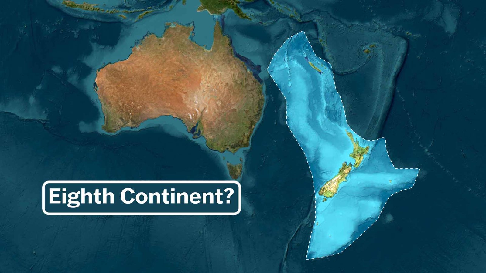
Italy: Map, Bordering Countries, and Geography
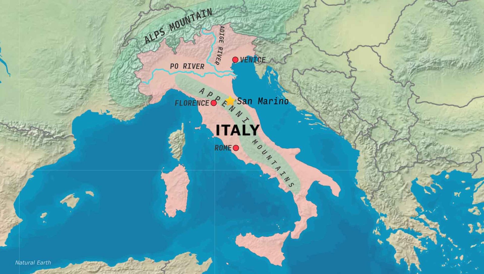
Italy spans Southern and Western Europe. Italy, which includes a peninsula and several islands such as Sicily and Sardinia, has a total area of 301,340 km². making it the tenth-largest country in Europe by area. It is a boot-shaped country. Italy uses the Euro as its currency.
Italy: Bordering countries by direction.
Italy shares land borders with:
-
France
-
Switzerland
-
Austria
-
Slovenia
-
San Marino
-
Vatican City
The most popular tourist spots in Italy are Rome, Venice, and Florence. The biggest city is Rome by population.
The geography of Italy.
Mountains: the Italian Alps and the Apennines are the main mountain ranges in Italy. The Italian Alps stretch across the entire northern edge of Italy. The Apennine Mountains run all the way from north to south through the length of the country.
Rivers:
The Po River is the longest river in Italy.
Adige River: The second-longest river, flowing through northern Italy.
The Tiber River is home to Rome.
Watch Video on Youtube: Italy
Read How San Marino Survives Inside Italy