If you’ve ever looked at a map of Africa, you might have noticed something odd about Namibia. Namibia is located on the southwest coast of Africa, bordering Angola, Botswana, South Africa, and the Atlantic Ocean.
Talking about that strange part, it has a long, narrow strip of land stretching 500 kilometres from its main territory. It looks almost unnatural, like a mistake. But there’s an amusing story of trickery behind this strange panhandle, and it all goes back to 1890.
Why Namibia has panhandle?
At the time, Germany controlled several African colonies, including Namibia (then called German South West Africa). But they had a big problem—reaching their other colony, German East Africa (modern-day Tanzania), required a long and expensive sea voyage around the entire southern tip of Africa.
Then, they had a “brilliant” idea. They could travel much faster if they could access the Zambezi River, which flowed between their two colonies. The only issue? The Zambezi was in British-controlled territory.
So Germany offered Britain a trade—they would give up the island of Zanzibar in exchange for a narrow strip of land that reached the river. The deal was made, and Germany thought they had secured a direct route between their colonies.
But there was one massive problem they overlooked— Victoria Falls.
The largest waterfall in the world sits right in the middle of the Zambezi, making it impossible for boats to pass through. The British knew this all along but happily accepted the deal, knowing the land would be completely useless to Germany.
And that’s how Namibia ended up with a panhandle!!
Watch here: Why does Namibia has a panhandle
Namibia: Know More
- Did you know that in Namibia you’ll find the world’s tallest dune? Dune 7 stands at a towering 383 meters.
- Namibia is huge but sparsely populated. It’s the 31st largest country, covering 824,292 square kilometres, with only 2.6 million people, resulting in a population density of just 3.5 people per square kilometre, the second lowest after Mongolia.
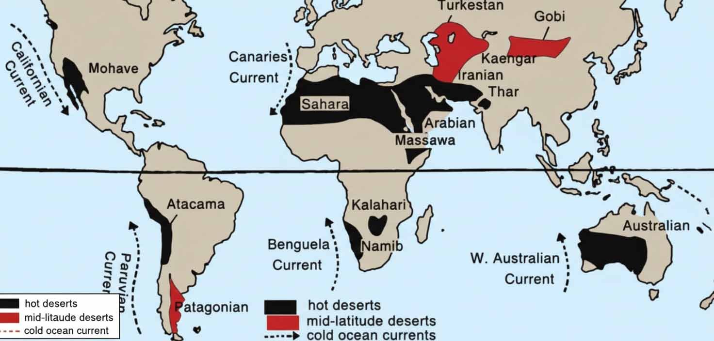
- The Fish River, stretching 650 kilometres, is Namibia’s longest river. The Namib Desert, the world’s oldest desert, which has been around for over 55 million years, lies to the west, while the Kalahari Desert borders its southeast with Botswana.
- The Etosha Pan in northern Namibia is one of the world’s largest salt pans. Hidden beneath the ground is Dragon’s Breath, the largest non-ice underground lake known.
- The Caprivi Strip, in the northeast, is part of an ecosystem supporting nearly 145,000 elephants at any given time. Namibia also has the world’s largest population of cheetahs.
Watch now: Click here
Geography of Nile: Click Me


